
体育公园 topographic map
Interactive map
Click on the map to display elevation.
About this map
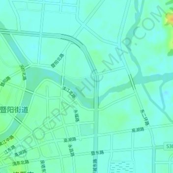
Name: 体育公园 topographic map, elevation, terrain.
Location: 体育公园, 诸暨市, 绍兴市, 浙江省, 中国 (29.72319 120.24921 29.72655 120.25474)
Average elevation: 43 ft
Minimum elevation: 20 ft
Maximum elevation: 105 ft
Other topographic maps
Click on a map to view its topography, its elevation and its terrain.