
诸暨市 topographic map
Interactive map
Click on the map to display elevation.
About this map
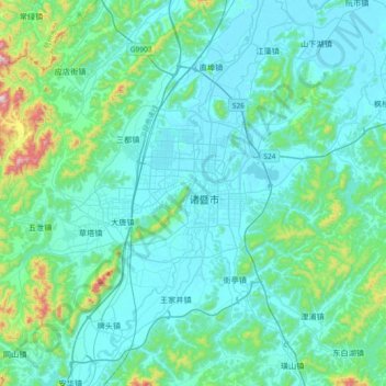
Name: 诸暨市 topographic map, elevation, terrain.
Location: 诸暨市, 绍兴市, 浙江省, 中国 (29.55573 120.07158 29.87573 120.39158)
Average elevation: 315 ft
Minimum elevation: 7 ft
Maximum elevation: 2,339 ft
Other topographic maps
Click on a map to view its topography, its elevation and its terrain.