
Ekker topographic map
Click on the map to display elevation.
About this map
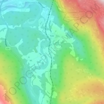
Name: Ekker topographic map, elevation, terrain.
Location: Ekker, Grong, Trøndelag, 7870, Norway (64.42390 12.31965 64.46390 12.35965)
Average elevation: 574 ft
Minimum elevation: 52 ft
Maximum elevation: 1,772 ft
Other topographic maps
Click on a map to view its topography, its elevation and its terrain.