Geolocate

Quintano topographic map

Click on the map to display elevation.

About this map

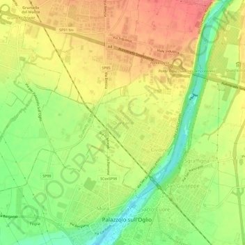
Name: Quintano topographic map, elevation, terrain.

Location: Quintano, Castelli Calepio, Bergamo, Lombardia, 25036, Italia (45.59490 9.86401 45.63490 9.90401)

Average elevation: 623 ft

Minimum elevation: 492 ft

Maximum elevation: 732 ft

Gear up for your next adventure:

🏔️Mountain Trail Maps - High‑detail maps for popular peaks
📱Solar Portable Charger - Solar power bank for charging devices off‑grid
🧭Orienteering Set - Complete compass and map reading kit
🪶Wildlife Field Guides - Learn animal tracking and species ID
🧣Merino Neck Gaiters - Multi-functional headwear for wind and sun protection

As an Amazon Associate, this site earns from qualifying purchases at no extra cost to you.