
Thank you for supporting this site ❤️
Make a donation
Make a donation
Gear up for your next adventure:
As an Amazon Associate, this site earns from qualifying purchases at no extra cost to you.
Galera topographic map
Click on the map to display elevation.
Thank you for supporting this site ❤️
Make a donation
Make a donation
Gear up for your next adventure:
As an Amazon Associate, this site earns from qualifying purchases at no extra cost to you.
About this map
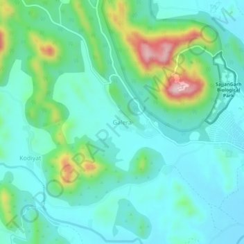
Name: Galera topographic map, elevation, terrain.
Location: Galera, Girwa Tehsil, Udaipur District, Rajasthan, India (24.56828 73.60949 24.60828 73.64949)
Average elevation: 2,198 ft
Minimum elevation: 1,959 ft
Maximum elevation: 3,015 ft
Thank you for supporting this site ❤️
Make a donation
Make a donation
Gear up for your next adventure:
As an Amazon Associate, this site earns from qualifying purchases at no extra cost to you.