
Amboseli National Park topographic map
Interactive map
Click on the map to display elevation.
About this map
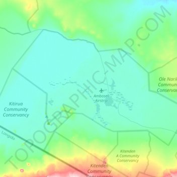
Name: Amboseli National Park topographic map, elevation, terrain.
Average elevation: 3,809 ft
Minimum elevation: 3,661 ft
Maximum elevation: 4,518 ft