Geolocate

Tacayan topographic map

Click on the map to display elevation.

About this map

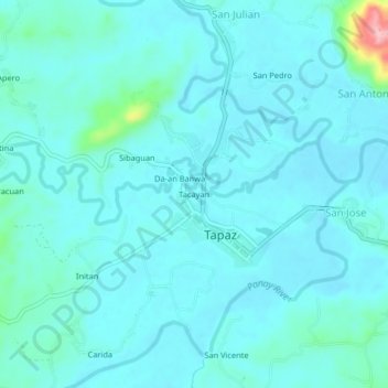
Name: Tacayan topographic map, elevation, terrain.

Location: Tacayan, Tapaz, Capiz, Western Visayas, 5814, Philippines (11.24620 122.51309 11.28620 122.55309)

Average elevation: 144 ft

Minimum elevation: 85 ft

Maximum elevation: 584 ft

Gear up for your next adventure:

🧭GPS Watch Accessories - Bands and chargers for GPS watches
🧯Emergency Survival Kit - All‑in‑one survival essentials for the backcountry
🎁Geography Themed Gifts - Unique gift ideas for map lovers and geography enthusiasts
🛌Ultralight Sleeping Bags - Compact down bags for cold nights in the wilderness
🗺️NatGeo Topo Maps - High-quality waterproof printed topographic maps of US Parks

As an Amazon Associate, this site earns from qualifying purchases at no extra cost to you.