
Podlonk topographic map
Click on the map to display elevation.
Podlonk
The name Podlonk is a fused prepositional phrase that has lost case inflection: pod 'below' + Lonk, referring to Lonk Hill (elevation 786 meters or 2,579 feet) immediately east of the village. The settlement was known as Podlong in German.
About this map
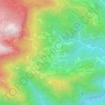
Name: Podlonk topographic map, elevation, terrain.
Location: Podlonk, Železniki, 4229, Slovenia (46.21347 14.10447 46.25347 14.14447)
Average elevation: 3,071 ft
Minimum elevation: 1,512 ft
Maximum elevation: 5,335 ft