Geolocate

Pialpetta topographic map

Click on the map to display elevation.

About this map

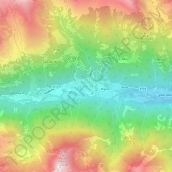
Name: Pialpetta topographic map, elevation, terrain.

Location: Pialpetta, Unione Montana Alpi Graie, Torino, Piemonte, Italia (45.35006 7.26163 45.39006 7.30163)

Average elevation: 5,049 ft

Minimum elevation: 3,127 ft

Maximum elevation: 7,556 ft

Gear up for your next adventure:

🔦LED Headlamp - Bright and durable LED headlamp for night navigation
🕶️Glacier Sunglasses - Side shields to protect eyes from high-altitude snow glare
📦Dry Bags Set - Waterproof storage for electronics and clothes
🕶️GPS Smartphone Mount - Secure mount for phone navigation
🛰️Handheld GPS Units - Professional satellite navigators for precise backcountry mapping

As an Amazon Associate, this site earns from qualifying purchases at no extra cost to you.