Geolocate

Valmorel topographic map

Click on the map to display elevation.

About this map

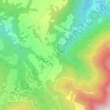
Name: Valmorel topographic map, elevation, terrain.

Location: Valmorel, Limana, Belluno, Veneto, 32020, Italy (46.04429 12.21813 46.06429 12.23813)

Average elevation: 2,736 ft

Minimum elevation: 1,765 ft

Maximum elevation: 4,268 ft

Gear up for your next adventure:

🌲Outdoor Survival Books - Best books on survival skills
🪑Ultralight Camp Chairs - Portable seating for resting after a long day of mapping
🦶Carbon Trekking Poles - Reduce knee impact on steep descents with ultra-light poles
🧭Hiking Compass - Precision compass for reliable navigation in the wilderness
🧼Biodegradable Camping Soap - Eco‑friendly soap for outdoor hygiene

As an Amazon Associate, this site earns from qualifying purchases at no extra cost to you.