Geolocate

Amrapar (2) topographic map

Click on the map to display elevation.

About this map

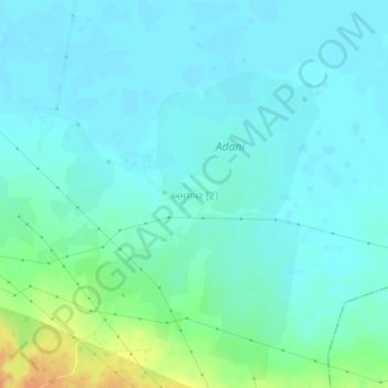
Name: Amrapar (2) topographic map, elevation, terrain.

Location: Amrapar (2), Bhuj Taluka, Kachchh, Gujarat, 370165, India (23.34219 70.05679 23.38219 70.09679)

Average elevation: 49 ft

Minimum elevation: 20 ft

Maximum elevation: 151 ft

Other topographic maps

Click on a map to view its topography, its elevation and its terrain.

Baladiya

India > Gujarat > Bhuj Taluka

Average elevation: 509 ft

Gear up for your next adventure:

🧢Outdoor Hiking Hat - Sun protection hat for outdoor explorers
🏫Relief Map Kits - Hands-on tools for teaching landforms and elevation
🎒Hydration Pack - Hands‑free water reservoir for long hikes
🥘Titanium Cookware - Durable, featherlight pots and pans for backpacking
🥇GPS Hiking Watch - Multi‑sport GPS watch with navigation and trail tracking

As an Amazon Associate, this site earns from qualifying purchases at no extra cost to you.