
Taşçı topographic map
Interactive map
Click on the map to display elevation.
About this map
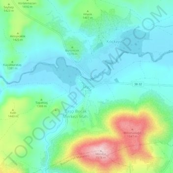
Name: Taşçı topographic map, elevation, terrain.
Location: Taşçı, Develi, Kayseri, Central Anatolia Region, Turkey (38.19448 35.77234 38.23448 35.81234)
Average elevation: 4,511 ft
Minimum elevation: 4,259 ft
Maximum elevation: 5,187 ft
Other topographic maps
Click on a map to view its topography, its elevation and its terrain.