
Çağlayan topographic map
Interactive map
Click on the map to display elevation.
About this map
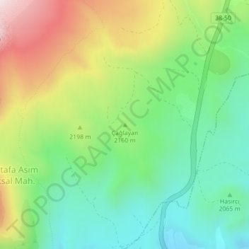
Name: Çağlayan topographic map, elevation, terrain.
Location: Çağlayan, Develi, Kayseri, Central Anatolia Region, Turkey (38.49046 35.50437 38.49056 35.50447)
Average elevation: 7,054 ft
Minimum elevation: 6,345 ft
Maximum elevation: 8,235 ft
Other topographic maps
Click on a map to view its topography, its elevation and its terrain.