Geolocate

Lexington topographic map

Click on the map to display elevation.

About this map

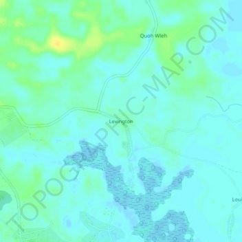
Name: Lexington topographic map, elevation, terrain.

Location: Lexington, Greenville, Sinoe County, Liberia (5.02577 -9.05960 5.06577 -9.01960)

Average elevation: 16 ft

Minimum elevation: -10 ft

Maximum elevation: 69 ft

Gear up for your next adventure:

🧥Waterproof Jacket for Hiking - Breathable and rugged rain jacket for outdoor excursions
Backpacking Tent - Lightweight and durable tent for multi‑day hikes
🔥Fast-Boil Camping Stoves - Efficient cooking systems for quick trail meals
🔭Telescopic Hiking Pole - Adjustable pole for hiking stability
🏕️Family Camping Gear - Essentials for group camping trips

As an Amazon Associate, this site earns from qualifying purchases at no extra cost to you.