
Make a donation
Gear up for your next adventure:
As an Amazon Associate, this site earns from qualifying purchases at no extra cost to you.
kavalappara SC Colony topographic map
Click on the map to display elevation.
Make a donation
Gear up for your next adventure:
As an Amazon Associate, this site earns from qualifying purchases at no extra cost to you.
About this map
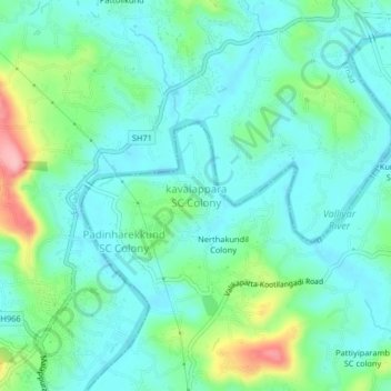
Name: kavalappara SC Colony topographic map, elevation, terrain.
Average elevation: 154 ft
Minimum elevation: 43 ft
Maximum elevation: 509 ft
Make a donation
Gear up for your next adventure:
As an Amazon Associate, this site earns from qualifying purchases at no extra cost to you.
Other topographic maps
Click on a map to view its topography, its elevation and its terrain.
Kolaparamba
India > Kerala > Perinthalmanna > Kollithodi SC Colony > Pattiyiparamb SC colony
Average elevation: 203 ft
Temple Pond, Bhagavathi Padam, Angadippuram
India > Kerala > Perinthalmanna > Angadipuram
Average elevation: 148 ft
Make a donation
Gear up for your next adventure:
As an Amazon Associate, this site earns from qualifying purchases at no extra cost to you.