
Thank you for supporting this site ❤️
Make a donation
Make a donation
Gear up for your next adventure:
As an Amazon Associate, this site earns from qualifying purchases at no extra cost to you.
Amacuitlapilco topographic map
Click on the map to display elevation.
Thank you for supporting this site ❤️
Make a donation
Make a donation
Gear up for your next adventure:
As an Amazon Associate, this site earns from qualifying purchases at no extra cost to you.
About this map
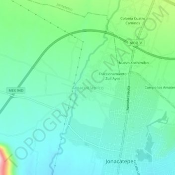
Name: Amacuitlapilco topographic map, elevation, terrain.
Location: Amacuitlapilco, Jonacatepec, Morelos, 62935, México (18.67681 -98.83142 18.71681 -98.79142)
Average elevation: 4,495 ft
Minimum elevation: 4,304 ft
Maximum elevation: 5,108 ft
Thank you for supporting this site ❤️
Make a donation
Make a donation
Gear up for your next adventure:
As an Amazon Associate, this site earns from qualifying purchases at no extra cost to you.