Geolocate

Long Lake topographic map

Click on the map to display elevation.

About this map

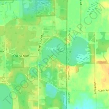
Name: Long Lake topographic map, elevation, terrain.

Location: Long Lake, Steuben County, Indiana, United States (41.74044 -84.81928 41.75250 -84.80600)

Average elevation: 1,053 ft

Minimum elevation: 1,004 ft

Maximum elevation: 1,099 ft

Steuben County trails, hiking, mountain biking, running and outdoor activities

Gear up for your next adventure:

🎒Day Hiking Backpack - Lightweight backpack perfect for day trips and outdoor adventures
📶Vehicle Signal Boosters - Improve reception in rural areas while driving to trailheads
🧭Compass with Lanyard - Easy‑carry compass for navigation
🔥Plasma Lighters - Windproof lighters that work in any weather condition
🪶Camp Gear Gift Set - Perfect gift bundle for outdoor fans

As an Amazon Associate, this site earns from qualifying purchases at no extra cost to you.