

Matala topographic map
Click on the map to display elevation.
Matala
Matala is situated along the Kunene River at an elevation of approximately 1300 metres above sea level; the Matala Weir is positioned at this point along the river.
About this map
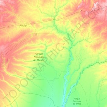
Name: Matala topographic map, elevation, terrain.
Location: Matala, Huíla Province, Angola (-16.06556 14.76622 -14.44188 15.56511)
Average elevation: 4,190 ft
Minimum elevation: 3,661 ft
Maximum elevation: 5,361 ft
Other topographic maps
Click on a map to view its topography, its elevation and its terrain.


Lubango
Angola > Huíla Province > Lubango > Lubango
In 1882 approximately one thousand Portuguese settlers came from the island of Madeira to the area of current-day Lubango. These Portuguese farmers helped develop the region and founded the settlement. The city, originally established in 1885 to serve colonists from the Madeira Islands, lies at an elevation of…
Average elevation: 5,991 ft