

Zugdidi topographic map
Click on the map to display elevation.
Zugdidi
Zugdidi (Georgian: ზუგდიდი; Mingrelian: ზუგდიდი or ზუგიდი) is a city in the western Georgian historical province of Samegrelo (Mingrelia). It is situated in the north-west of that province. The city is located 318 kilometres west of Tbilisi, 30 km from the Black Sea coast and 30 km from the Egrisi Range, at an elevation of 100–110 metres above sea level. Zugdidi is the capital of the Samegrelo-Zemo Svaneti region, which combines Samegrelo (Mingrelia) and upper part of Svaneti, and the center of the Zugdidi Municipality within.
About this map
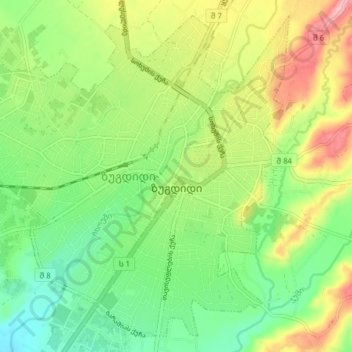
Name: Zugdidi topographic map, elevation, terrain.
Location: Zugdidi, Samegrelo-Upper Svaneti, Georgia (42.48255 41.81871 42.53466 41.89610)
Average elevation: 367 ft
Minimum elevation: 197 ft
Maximum elevation: 623 ft