Geolocate

Cagay topographic map

Click on the map to display elevation.

About this map
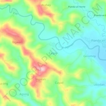
Name: Cagay topographic map, elevation, terrain.

Location: Cagay, Iloilo, Western Visayas, Philippines (10.83056 122.38257 10.87056 122.42257)

Average elevation: 486 ft

Minimum elevation: 249 ft

Maximum elevation: 935 ft

Gear up for your next adventure:

🪶Multi‑Purpose Knife - Useful blade for camp and trail
🧴Hand Sanitizer - Keep hands clean while hiking
🔦LED Headlamp - Bright and durable LED headlamp for night navigation
🛡️Insect Repellent - Protection against bugs during outdoor activities
🌡️Portable Weather Meter - Track weather conditions on the trail

As an Amazon Associate, this site earns from qualifying purchases at no extra cost to you.