Geolocate

First Al Hamra' topographic map

Click on the map to display elevation.

About this map

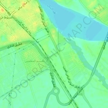
Name: First Al Hamra' topographic map, elevation, terrain.

Location: First Al Hamra', Asyut, Egypt (27.15885 31.19325 27.18116 31.20630)

Average elevation: 177 ft

Minimum elevation: 144 ft

Maximum elevation: 220 ft

Other topographic maps

Click on a map to view its topography, its elevation and its terrain.

Al Qusiya

Egypt > Asyut

Average elevation: 157 ft

Al Badari

Egypt > Asyut

Average elevation: 230 ft

Gear up for your next adventure:

🪶Compact Camp Shovel - Folding shovel for campsite tasks
🧢Outdoor Hiking Hat - Sun protection hat for outdoor explorers
🗺️NatGeo Topo Maps - High-quality waterproof printed topographic maps of US Parks
🔊Portable Camp Speaker - Music and alerts at camp
🥾Women's Hiking Boots - Top-rated trail boots with ankle support and superior grip

As an Amazon Associate, this site earns from qualifying purchases at no extra cost to you.