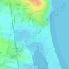
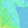
Sutton topographic map
Click on the map to display elevation.
About this map

Name: Sutton topographic map, elevation, terrain.
Location: Sutton, Fingal, County Dublin, Leinster, D13 A7X4, Ireland (53.36939 -6.12981 53.40939 -6.08981)
Average elevation: 26 ft
Minimum elevation: -16 ft
Maximum elevation: 505 ft
Other topographic maps
Click on a map to view its topography, its elevation and its terrain.





Booterstown, Blackrock and Dundrum Parish
Ireland > County Dublin > Goatstown
Average elevation: 282 ft