Geolocate

Praslong topographic map

Click on the map to display elevation.

About this map

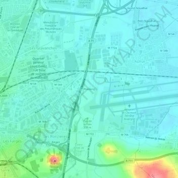
Name: Praslong topographic map, elevation, terrain.

Location: Praslong, Clermont-Ferrand, Puy-de-Dôme, Auvergne-Rhône-Alpes, France métropolitaine, 63014, France (45.76876 3.12751 45.80876 3.16751)

Average elevation: 1,099 ft

Minimum elevation: 1,047 ft

Maximum elevation: 1,358 ft

Other topographic maps

Click on a map to view its topography, its elevation and its terrain.

63000

France > Auvergne-Rhône-Alpes > Puy-de-Dôme > Clermont-Ferrand

Average elevation: 1,204 ft

Gear up for your next adventure:

🏕️Family Camping Gear - Essentials for group camping trips
🩹Survival Bandages - High‑quality bandages for emergencies
📱Heavy-Duty Phone Cases - Drop-proof and waterproof protection for outdoor navigation
🧭Hiking Compass - Precision compass for reliable navigation in the wilderness
🩳Quick‑Dry Hiking Shorts - Comfortable and quick‑dry shorts for summer hiking

As an Amazon Associate, this site earns from qualifying purchases at no extra cost to you.