

Raebareli topographic map
Click on the map to display elevation.
Raebareli
The district forms a part of the Gangetic plain which is of recent origin according to geological chronology and reveal ordinary Gangetic alluvium. The district being a part of the alluvial plain conforms to the same geological sequence as the plain itself. The only mineral of importance is kankar. The district is also noted for its deposits of reh and brick earth. The district, as a whole, is fairly compact tract of gently undulating land. The elevation varies from about 120.4 m above sea level in the north west to 86.9 m above sea level in the extreme south east, on the banks of the Ganga. The highest points are the crowns of the watersheds of the different drainage channel which serve to divide the district into five main physical units, The Ganga Khadar, the Ganga upland, the southern clay tract, the central tract or the Sai upland and the Northern clay tract.
About this map
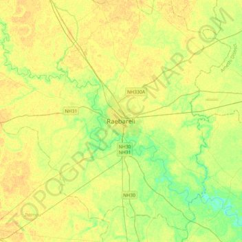
Name: Raebareli topographic map, elevation, terrain.
Location: Raebareli, Raebareli District, Uttar Pradesh, 229001, India (26.06077 81.08652 26.38077 81.40652)
Average elevation: 364 ft
Minimum elevation: 325 ft
Maximum elevation: 387 ft