
Thank you for supporting this site ❤️
Make a donation
Make a donation
Gear up for your next adventure:
As an Amazon Associate, this site earns from qualifying purchases at no extra cost to you.
Cheriyal topographic map
Click on the map to display elevation.
Thank you for supporting this site ❤️
Make a donation
Make a donation
Gear up for your next adventure:
As an Amazon Associate, this site earns from qualifying purchases at no extra cost to you.
About this map
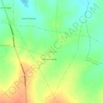
Name: Cheriyal topographic map, elevation, terrain.
Location: Cheriyal, Kandi mandal, Sangareddy, Telangana, 502329, India (17.53395 78.11141 17.57395 78.15141)
Average elevation: 1,795 ft
Minimum elevation: 1,726 ft
Maximum elevation: 1,880 ft
Thank you for supporting this site ❤️
Make a donation
Make a donation
Gear up for your next adventure:
As an Amazon Associate, this site earns from qualifying purchases at no extra cost to you.