
Kilada topographic map
Click on the map to display elevation.
About this map
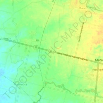
Name: Kilada topographic map, elevation, terrain.
Location: Kilada, North Cotabato, Soccsksargen, 9406, Philippines (7.07300 124.86267 7.11300 124.90267)
Average elevation: 112 ft
Minimum elevation: 62 ft
Maximum elevation: 151 ft
Other topographic maps
Click on a map to view its topography, its elevation and its terrain.