
Deep Gap topographic map
Click on the map to display elevation.
About this map
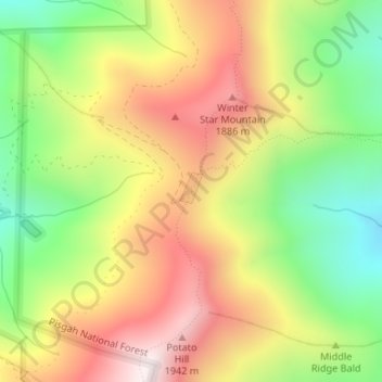
Name: Deep Gap topographic map, elevation, terrain.
Location: Deep Gap, Yancey County, North Carolina, United States (35.81091 -82.25292 35.81101 -82.25282)
Average elevation: 5,171 ft
Minimum elevation: 3,862 ft
Maximum elevation: 6,529 ft
Yancey County trails, hiking, mountain biking, running and outdoor activities
Other topographic maps
Click on a map to view its topography, its elevation and its terrain.