
Thank you for supporting this site ❤️
Make a donation
Make a donation
Gear up for your next adventure:
As an Amazon Associate, this site earns from qualifying purchases at no extra cost to you.
Schuir topographic map
Click on the map to display elevation.
Thank you for supporting this site ❤️
Make a donation
Make a donation
Gear up for your next adventure:
As an Amazon Associate, this site earns from qualifying purchases at no extra cost to you.
About this map
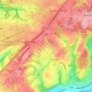
Name: Schuir topographic map, elevation, terrain.
Location: Schuir, Stadtbezirk IX, Essen, North Rhine-Westphalia, Germany (51.37986 6.94300 51.41874 6.98315)
Average elevation: 397 ft
Minimum elevation: 138 ft
Maximum elevation: 561 ft
Thank you for supporting this site ❤️
Make a donation
Make a donation
Gear up for your next adventure:
As an Amazon Associate, this site earns from qualifying purchases at no extra cost to you.