Geolocate

Wilma topographic map

Click on the map to display elevation.

About this map

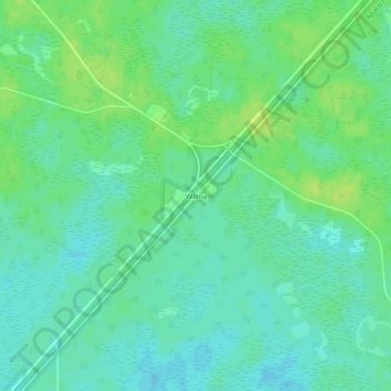
Name: Wilma topographic map, elevation, terrain.

Location: Wilma, Liberty County, Florida, United States (30.13437 -84.98436 30.17437 -84.94436)

Average elevation: 56 ft

Minimum elevation: 33 ft

Maximum elevation: 79 ft

Liberty County trails, hiking, mountain biking, running and outdoor activities

Other topographic maps

Click on a map to view its topography, its elevation and its terrain.

Bristol

United States > Florida > Liberty County

Average elevation: 141 ft

Bristol

United States > Florida > Liberty County > Bristol

Average elevation: 141 ft

Gear up for your next adventure:

🍳Camping Cook Set - Complete cookware for outdoor meals
🪶LED Camping Lantern - Bright lantern for camp lighting
🎒Trekking Poles - Sturdy poles for balance and stability on rough terrain
Camping Coffee Makers - Enjoy premium coffee at the summit or campsite
Backpacking Tent - Lightweight and durable tent for multi‑day hikes

As an Amazon Associate, this site earns from qualifying purchases at no extra cost to you.