Geolocate

Zevenhuizen topographic map

Click on the map to display elevation.

About this map

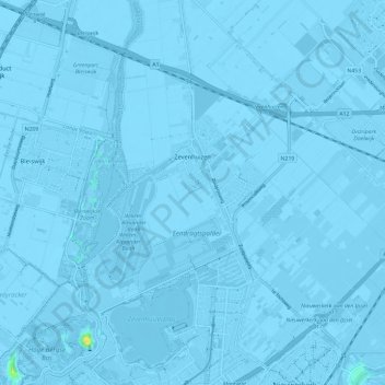
Name: Zevenhuizen topographic map, elevation, terrain.

Location: Zevenhuizen, Zuidplas, South Holland, Netherlands (51.96846 4.54634 52.04128 4.63680)

Average elevation: -13 ft

Minimum elevation: -30 ft

Maximum elevation: 69 ft

Gear up for your next adventure:

🎒Trail Energy Bars - High‑calorie bars for hiking energy
🔊Portable Camp Speaker - Music and alerts at camp
🌎3D Topographic Globes - Raised relief globes for a tactile understanding of geography
🧴Hand Sanitizer - Keep hands clean while hiking
🔋Rechargeable Batteries - Power up your outdoor devices

As an Amazon Associate, this site earns from qualifying purchases at no extra cost to you.