
Driel topographic map
Click on the map to display elevation.
About this map
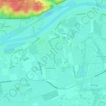
Name: Driel topographic map, elevation, terrain.
Location: Driel, Overbetuwe, Gelderland, Netherlands (51.94154 5.78019 51.97365 5.83620)
Average elevation: 36 ft
Minimum elevation: 0 ft
Maximum elevation: 194 ft