Geolocate

Shahbad topographic map

Click on the map to display elevation.

About this map

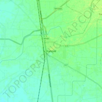
Name: Shahbad topographic map, elevation, terrain.

Location: Shahbad, Kurukshetra, Haryana, 132135, India (30.12617 76.82786 30.20617 76.90786)

Average elevation: 869 ft

Minimum elevation: 853 ft

Maximum elevation: 889 ft

Gear up for your next adventure:

🧥Men's Rain Shells - Premium waterproof and breathable jackets for mountain weather
🪶LED Camping Lantern - Bright lantern for camp lighting
🔌USB Car Charger - Car charger for on‑the‑go power needs
🕶️Glacier Sunglasses - Side shields to protect eyes from high-altitude snow glare
📱Heavy-Duty Phone Cases - Drop-proof and waterproof protection for outdoor navigation

As an Amazon Associate, this site earns from qualifying purchases at no extra cost to you.