
Thank you for supporting this site ❤️
Make a donation
Make a donation
Gear up for your next adventure:
As an Amazon Associate, this site earns from qualifying purchases at no extra cost to you.
Samac topographic map
Click on the map to display elevation.
Thank you for supporting this site ❤️
Make a donation
Make a donation
Gear up for your next adventure:
As an Amazon Associate, this site earns from qualifying purchases at no extra cost to you.
About this map
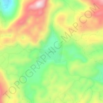
Name: Samac topographic map, elevation, terrain.
Location: Samac, Cobán, Alta Verapaz, Guatemala (15.45160 -90.46540 15.49160 -90.42540)
Average elevation: 4,774 ft
Minimum elevation: 3,812 ft
Maximum elevation: 5,879 ft
Thank you for supporting this site ❤️
Make a donation
Make a donation
Gear up for your next adventure:
As an Amazon Associate, this site earns from qualifying purchases at no extra cost to you.