Geolocate

Toronto topographic map

Click on the map to display elevation.

About this map

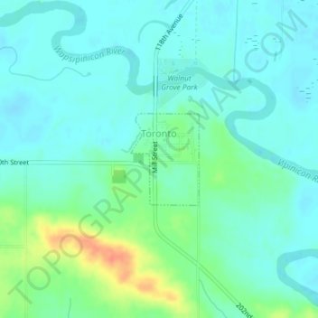
Name: Toronto topographic map, elevation, terrain.

Location: Toronto, Clinton County, Iowa, United States (41.89875 -90.86726 41.90656 -90.85945)

Average elevation: 725 ft

Minimum elevation: 686 ft

Maximum elevation: 833 ft

Clinton County trails, hiking, mountain biking, running and outdoor activities

Gear up for your next adventure:

💧Water Filtration Bottles - Safely drink from streams and lakes while exploring
👓Polarized Sunglasses - Outdoor sunglasses for glare reduction
🎒Trail Energy Bars - High‑calorie bars for hiking energy
🦟Ultrasonic Repellers - Create a bug-free zone at your camp or rest stop
🌎3D Topographic Globes - Raised relief globes for a tactile understanding of geography

As an Amazon Associate, this site earns from qualifying purchases at no extra cost to you.