
Fithian topographic map
Click on the map to display elevation.
About this map
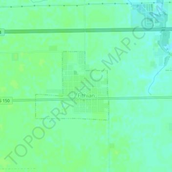
Name: Fithian topographic map, elevation, terrain.
Location: Fithian, Vermilion County, Illinois, United States (40.11006 -87.88351 40.12086 -87.86845)
Average elevation: 663 ft
Minimum elevation: 643 ft
Maximum elevation: 676 ft
Vermilion County trails, hiking, mountain biking, running and outdoor activities
Other topographic maps
Click on a map to view its topography, its elevation and its terrain.
Middle Fork State Fish and Wildlife Area
United States > Illinois > Vermilion County
Average elevation: 676 ft