Geolocate

Crete topographic map

Click on the map to display elevation.

About this map

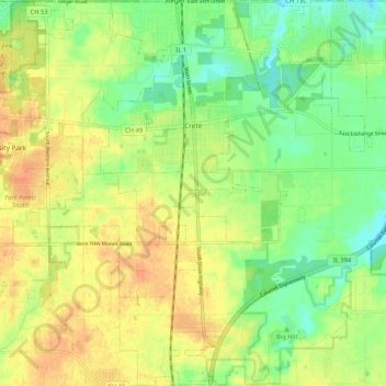
Name: Crete topographic map, elevation, terrain.

Location: Crete, Will County, Illinois, United States (41.39152 -87.67068 41.46999 -87.56946)

Average elevation: 735 ft

Minimum elevation: 673 ft

Maximum elevation: 791 ft

Will County trails, hiking, mountain biking, running and outdoor activities

Other topographic maps

Click on a map to view its topography, its elevation and its terrain.

Custer Park

United States > Illinois > Will County

Average elevation: 577 ft

Andres

United States > Illinois > Will County > Andres

Average elevation: 719 ft

Gear up for your next adventure:

🛰️Handheld GPS Units - Professional satellite navigators for precise backcountry mapping
🛠️Backpacking Tool Kit - Essential toolkit for outdoor repairs
🧭Compass with Lanyard - Easy‑carry compass for navigation
🩹Survival Bandages - High‑quality bandages for emergencies
🏔️Mountain Trail Maps - High‑detail maps for popular peaks

As an Amazon Associate, this site earns from qualifying purchases at no extra cost to you.