
Taman Permainan topographic map
Interactive map
Click on the map to display elevation.
About this map
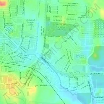
Name: Taman Permainan topographic map, elevation, terrain.
Average elevation: 85 ft
Minimum elevation: 20 ft
Maximum elevation: 223 ft
Other topographic maps
Click on a map to view its topography, its elevation and its terrain.
Kong Kong
Malaysia > Johor > Pasir Gudang > Kong Kong
Kong Kong, Pasir Gudang, Johor Bahru, Iskandar Malaysia, Johor, 81700, Malaysia
Average elevation: 26 ft
Perani
Malaysia > Johor > Pasir Gudang > Perani
Perani, Pasir Gudang, Johor, 81700, Malaysia
Average elevation: 164 ft