
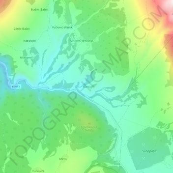
Đurići topographic map
Interactive map
Click on the map to display elevation.
About this map
Name: Đurići topographic map, elevation, terrain.
Location: Đurići, Grad Knin, Šibenik-Knin County, Croatia (44.00765 16.31123 44.04765 16.35123)
Average elevation: 1,611 ft
Minimum elevation: 1,093 ft
Maximum elevation: 2,831 ft