
Thank you for supporting this site ❤️
Make a donation
Make a donation
Gear up for your next adventure:
As an Amazon Associate, this site earns from qualifying purchases at no extra cost to you.
Phoolasar topographic map
Click on the map to display elevation.
Thank you for supporting this site ❤️
Make a donation
Make a donation
Gear up for your next adventure:
As an Amazon Associate, this site earns from qualifying purchases at no extra cost to you.
About this map
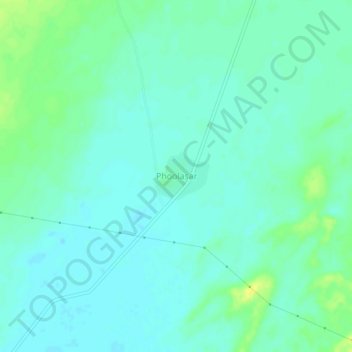
Name: Phoolasar topographic map, elevation, terrain.
Location: Phoolasar, Bhaniyana Tehsil, Jaisalmer, Rajasthan, India (26.44577 71.91000 26.48577 71.95000)
Average elevation: 689 ft
Minimum elevation: 666 ft
Maximum elevation: 735 ft
Thank you for supporting this site ❤️
Make a donation
Make a donation
Gear up for your next adventure:
As an Amazon Associate, this site earns from qualifying purchases at no extra cost to you.