Geolocate

Citeureup topographic map

Click on the map to display elevation.

About this map

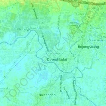
Name: Citeureup topographic map, elevation, terrain.

Location: Citeureup, Bandung, West Java, Java, 40288, Indonesia (-7.00066 107.60635 -6.96066 107.64635)

Average elevation: 2,178 ft

Minimum elevation: 2,159 ft

Maximum elevation: 2,218 ft

Gear up for your next adventure:

🦟Ultrasonic Repellers - Create a bug-free zone at your camp or rest stop
🌐World Map Poster - Decorative world maps with topographic info
📌Outdoor GPS Map App - Apps and devices for digital topographic navigation
🪶LED Camping Lantern - Bright lantern for camp lighting
🛌Ultralight Sleeping Bags - Compact down bags for cold nights in the wilderness

As an Amazon Associate, this site earns from qualifying purchases at no extra cost to you.