
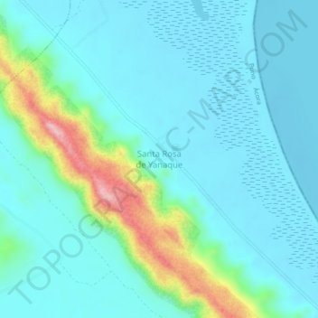
Santa Rosa topographic map
Interactive map
Click on the map to display elevation.
About this map
Name: Santa Rosa topographic map, elevation, terrain.
Location: Santa Rosa, Puno, Perú (-15.96081 -69.72080 -15.92081 -69.68080)
Average elevation: 12,635 ft
Minimum elevation: 12,500 ft
Maximum elevation: 13,238 ft
Other topographic maps
Click on a map to view its topography, its elevation and its terrain.