
Santa Rosa topographic map
Interactive map
Click on the map to display elevation.
About this map
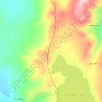
Name: Santa Rosa topographic map, elevation, terrain.
Location: Santa Rosa, Melgar, Puno, Perú (-15.07258 -71.01509 -15.03258 -70.97509)
Average elevation: 14,528 ft
Minimum elevation: 13,898 ft
Maximum elevation: 15,259 ft
Other topographic maps
Click on a map to view its topography, its elevation and its terrain.