
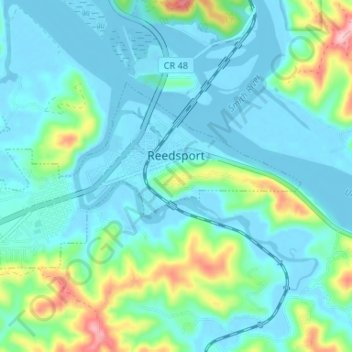
Reedsport topographic map
Click on the map to display elevation.
About this map
Name: Reedsport topographic map, elevation, terrain.
Location: Reedsport, Douglas County, Oregon, 97467, United States (43.68648 -124.13953 43.71193 -124.07363)
Average elevation: 112 ft
Minimum elevation: -26 ft
Maximum elevation: 577 ft
Douglas County trails, hiking, mountain biking, running and outdoor activities
Other topographic maps
Click on a map to view its topography, its elevation and its terrain.