Geolocate

Highway topographic map

Click on the map to display elevation.

About this map

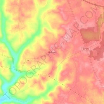
Name: Highway topographic map, elevation, terrain.

Location: Highway, Clinton County, Kentucky, United States (36.71840 -85.22885 36.75840 -85.18885)

Average elevation: 942 ft

Minimum elevation: 692 ft

Maximum elevation: 1,047 ft

Clinton County trails, hiking, mountain biking, running and outdoor activities

Gear up for your next adventure:

🔭Telescopic Hiking Pole - Adjustable pole for hiking stability
🥄Camping Utensil Set - Lightweight utensils for outdoor meals
🪶Survival Guide Book - Expert advice for emergency preparedness
🔦LED Headlamp - Bright and durable LED headlamp for night navigation
📖Nature Tracking Books - Learn to track wildlife and terrain

As an Amazon Associate, this site earns from qualifying purchases at no extra cost to you.