Geolocate

The Meadows topographic map

Click on the map to display elevation.

About this map

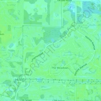
Name: The Meadows topographic map, elevation, terrain.

Location: The Meadows, Sarasota County, Florida, 34235, United States (27.35206 -82.48780 27.38125 -82.45773)

Average elevation: 36 ft

Minimum elevation: 20 ft

Maximum elevation: 49 ft

Sarasota County trails, hiking, mountain biking, running and outdoor activities

Gear up for your next adventure:

🔭Telescopic Hiking Pole - Adjustable pole for hiking stability
🎒Day Hiking Backpack - Lightweight backpack perfect for day trips and outdoor adventures
📦Gear Storage Bags - Organize and protect outdoor equipment
📶Vehicle Signal Boosters - Improve reception in rural areas while driving to trailheads
🔥Fast-Boil Camping Stoves - Efficient cooking systems for quick trail meals

As an Amazon Associate, this site earns from qualifying purchases at no extra cost to you.