Geolocate

Falgu topographic map

Click on the map to display elevation.

About this map

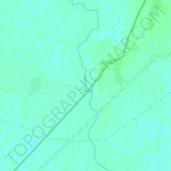
Name: Falgu topographic map, elevation, terrain.

Location: Falgu, Ghoswari, Patna District, Bihar, India (25.32902 85.88143 25.37622 85.89351)

Average elevation: 135 ft

Minimum elevation: 125 ft

Maximum elevation: 148 ft

Gear up for your next adventure:

🧼Biodegradable Camping Soap - Eco‑friendly soap for outdoor hygiene
🎒Outdoor Daypacks - Lightweight backpacks designed for carrying maps and essential gear
🎒Gear Packing Cubes - Organize your backpack efficiently
⛑️Personal Locator Beacon - Safety beacon for emergencies
🌎3D Topographic Globes - Raised relief globes for a tactile understanding of geography

As an Amazon Associate, this site earns from qualifying purchases at no extra cost to you.