Geolocate

Parsons topographic map

Click on the map to display elevation.

About this map

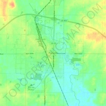
Name: Parsons topographic map, elevation, terrain.

Location: Parsons, Labette County, Kansas, 67357, United States (37.30078 -95.29963 37.38078 -95.21963)

Average elevation: 902 ft

Minimum elevation: 853 ft

Maximum elevation: 981 ft

Labette County trails, hiking, mountain biking, running and outdoor activities

Gear up for your next adventure:

🧷Carabiner Set - Durable clips for gear attachment
🍳Camping Cook Set - Complete cookware for outdoor meals
🌡️Handheld Weather Meters - Measure wind, temp, and pressure for safe mountain travel
🦺Reflective Outdoor Gear - Safety gear for low‑light conditions
🛰️Satellite Messengers - Emergency SOS and two-way messaging for off-grid adventures

As an Amazon Associate, this site earns from qualifying purchases at no extra cost to you.