
Munger topographic map
Click on the map to display elevation.
About this map
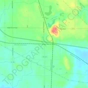
Name: Munger topographic map, elevation, terrain.
Location: Munger, Saint Louis County, Minnesota, United States (46.78078 -92.36380 46.82078 -92.32380)
Average elevation: 1,365 ft
Minimum elevation: 1,293 ft
Maximum elevation: 1,516 ft
Saint Louis County trails, hiking, mountain biking, running and outdoor activities