Geolocate

Danapur topographic map

Click on the map to display elevation.

About this map

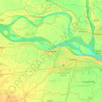
Name: Danapur topographic map, elevation, terrain.

Location: Danapur, Dinapur-Cum-Khagaul, Patna, Bihar, 801503, India (25.47589 84.88740 25.79589 85.20740)

Average elevation: 171 ft

Minimum elevation: 128 ft

Maximum elevation: 217 ft

Gear up for your next adventure:

🌲Outdoor Survival Books - Best books on survival skills
Backpacking Tent - Lightweight and durable tent for multi‑day hikes
🪶Thermal Camp Blanket - Extra warmth for cold nights
🧯Portable Fire Pit - Compact fire pit for camping spots
📱Solar Portable Charger - Solar power bank for charging devices off‑grid

As an Amazon Associate, this site earns from qualifying purchases at no extra cost to you.