
Como Lake topographic map
Click on the map to display elevation.
About this map
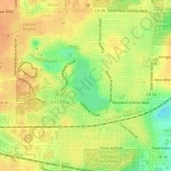
Name: Como Lake topographic map, elevation, terrain.
Average elevation: 919 ft
Minimum elevation: 840 ft
Maximum elevation: 961 ft
Ramsey County trails, hiking, mountain biking, running and outdoor activities
Other topographic maps
Click on a map to view its topography, its elevation and its terrain.
Mississippi National River and Recreation Area
United States > Minnesota > Ramsey County > Saint Paul
Average elevation: 906 ft
Como Park Zoo and Conservatory
United States > Minnesota > Ramsey County > Saint Paul
Average elevation: 925 ft
Ford Dam Scenic Overlook
United States > Minnesota > Ramsey County > Saint Paul
Average elevation: 823 ft